
Walk a North Lauderdale Street
A North Lauderdale street directory search works best as a chain, not a single query. BCPA identifies the parcel and current owner of record. Its map exposes the lots beside it. Broward Official Records then follows owners through deeds and other instruments. Election records and historical directories can support a residence link, but only within their access rules and coverage dates. City permits and code files show activity at the site, not necessarily who slept there.
Save the source, date inspected, and role supported at every step. A name may mean owner of record, tax-mail recipient, permit applicant, listed occupant, or registered voting residence. Those labels are not interchangeable.
- Enter the street number and name in BCPA Records Search, then save the owner, situs address, folio, legal description, and mailing address.
- Open the BCPA Interactive Map and click adjoining parcels to build a street segment without relying on one ZIP-wide result.
- Use each owner name in Broward Official Records, narrowing dates and document types so deeds can reveal the title chain.
- Use Broward election data only through the status, precinct, or ordered public-file channel that fits the lawful task.
- For older occupants, consult the Fort Lauderdale Suburban criss-cross directories and distinguish a printed listing from ownership.
BCPA Fields for North Lauderdale Streets
The Broward County Property Appraiser portal accepts owner name, address, folio, and subdivision searches. A folio is Broward's ten-digit parcel identifier. It is more stable than a spelling variant in a street name. Address search reaches a known property, while subdivision and map modes help browse a development when the goal is a whole block.
| Search control | Input | Street-directory use |
|---|---|---|
| Owner | Last name first; partial text | Find parcels linked to one indexed owner |
| Address | Number and street name | Open a known North Lauderdale site |
| Folio | Ten-digit parcel number | Return to the exact parcel |
| Subdivision | Name, block, or lot | Check development geography |
| Map | Parcel clicks and nearby lots | Move property by property |
Open the BCPA parcel map before reviewing its captured street view.
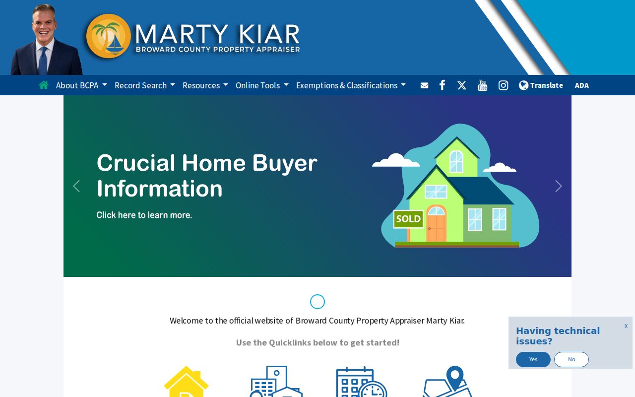
The parcel outlines and linked records make adjacent-lot work much more precise than a broad postal-area search.
Read North Lauderdale Address Roles
The situs address is the physical location of the parcel. The mailing address is where tax notices go. They may match, but a remote owner, company, trust, or representative can receive mail elsewhere. A legal description identifies land through plat, lot, block, or another surveyed form rather than ordinary postal wording.
- Parcel
- A mapped unit of land used by the property appraiser and tax roll.
- Situs address
- The physical address assigned to the property.
- Plat
- A recorded map that divides land into lots, blocks, streets, and easements.
- Criss-cross directory
- A printed directory arranged by address or phone, useful for finding a listed occupant.
A homestead indicator can support owner occupancy during an exemption period. It does not list relatives, roommates, or every person who stayed at the address. Treat it as one dated fact.
Map North Lauderdale Parcel Neighbors
BCPA's map can be panned along Kimberly Boulevard, McNab Road, Boulevard of Champions, Rock Island Road, and the city’s smaller residential streets. Click a parcel, record its folio, and follow the property-record link. Repeat on each side of the starting lot. The municipal ArcGIS viewer adds zoning and city-boundary context.
North Lauderdale is compact, with 44,794 residents in 4.62 square miles in the 2020 Census. That density makes adjacent-parcel work practical. It also makes ZIP-wide searching noisy. Postal city, municipal boundary, taxing jurisdiction, and subdivision can disagree, so verify an edge address in both BCPA or GIS and USPS.
North Lauderdale Street Records Compared
Each address-keyed source adds a different role or date. Use the table to choose a source, then preserve the label that the record actually supports.
| Record Set | Keeper | What It Shows | Access |
|---|---|---|---|
| Property and tax roll | Broward Property Appraiser | Owner, situs, mailing address, folio, exemption context | Free portal and map |
| GIS parcel layers | BCPA and North Lauderdale | Adjacent parcels, boundaries, zoning context | Free viewers |
| Deeds and instruments | Broward County RTT | Recorded parties, transfer dates, legal descriptions | 1978-present web index; older media by request |
| Voter and precinct records | Broward Supervisor of Elections | Status or public registration fields within legal limits | Lookup, precinct tool, or ordered file |
| Permits and code cases | North Lauderdale | Applicants, contractors, work, inspections, and case dates | Citizen Self-Service and records request |
The folio and legal description connect parcel work to deeds and permits more reliably than a street spelling alone. Historical occupant research belongs in the North Lauderdale directory book collections rather than being inferred from a current owner.
Trace Deeds Along North Lauderdale Streets
Broward tells address-only researchers to identify the property owner in BCPA first because Official Records is name-indexed. Enter the owner as grantor or grantee, then narrow by dates, instrument number, book and page, or document type. A deed's execution date and recording date may differ, so keep both in a street chronology.
The web index begins January 1, 1978. Online image availability has a later stated date, August 24, 1998, while Search and Copy holdings reach 1871. If an older link is absent, request it with party names, approximate dates, document class, book and page or CFN when known, and the parcel legal description. Say whether a research copy or certified copy is needed.
Read Broward’s official deed-search workflow before viewing the captured guidance.
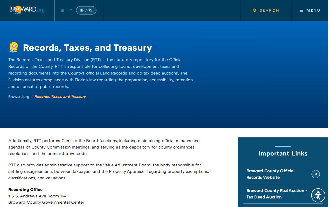
The county’s owner-first route explains why the property roll must precede a deed search by address.
North Lauderdale Permits by Address
The city's Enterprise Permitting and Licensing Citizen Self-Service portal consolidates permits, inspections, business licenses, and code compliance. Login is required for the full digital workflow. Returning users are told to register with the same prior email so older records can link. Broward ePermits OneStop may supply county approvals tied to the same work.
A permit can show applicant, owner, contractor, job address, parcel, scope, application, issue and final dates, inspections, and status. It does not prove that the applicant lived at the site. A code case may name an owner or responsible party and date a property condition, but redactions or open-investigation limits can apply.
When the portal lacks a record, send the City Clerk a focused request. State the exact situs address, folio, permit or code record type, inclusive dates, desired native electronic format, and request for attachments.
Voter Evidence on North Lauderdale Streets
Florida's statewide voter-status search requires identifying details and verifies an individual. Broward's precinct finder accepts an address. Neither is a public street browser. A researcher who needs public voter fields for a defined geography must use the Supervisor of Elections order process and accept the office's estimate.
The posted Broward schedule lists a $20 search, a $6 USB charge, Dropbox delivery for files over 10 MB, and possible special-service charges. Specify the North Lauderdale precinct or geographic scope, fields, snapshot or election date, and electronic format. Protected fields are removed under Florida law. A voter participation record only shows that a ballot was credited, never the selections made.
Reverse North Lauderdale Address History
Broward Main Library's electronic Fort Lauderdale Suburban directories cover 1975 through 1986. They are more useful for North Lauderdale than an assumed long independent city run. A reverse or criss-cross volume can place a printed name beside an address, though it may omit unlisted households, recent moves, or places outside that edition's canvass.
For an older street-directory search, test the house number, street variants, subdivision, and Fort Lauderdale Suburban label. Pair a printed entry with BCPA, a deed, an obituary, or a census page. Main Library Periodicals can search older phone books and South Florida newspapers and accepts remote obituary or article requests by phone, email, fax, or mail.
Resolve North Lauderdale Boundary Clues
The city's postwar layout includes Broadview, Cypress Lakes, Hampton Pines, Oakbrook Village, Sabal Palm Village, and Town Center or Pompano Park. Major corridors help orient a parcel, but the preferred postal city does not establish the municipality. The dominant 33068 delivery area also extends beyond one legal boundary, and some edge addresses may use 33319.
For a questionable site, compare three answers. USPS verifies postal delivery wording. BCPA supplies parcel municipality, situs, folio, and legal description. North Lauderdale GIS supplies municipal and zoning context. Preserve all three rather than forcing one label to answer a different geographic question.
Limits of North Lauderdale Street Directory
A street directory cannot supply a complete roster of everyone inside each home. BCPA names owners, not all occupants. Deeds document interests in land. Permits name project participants. Voter material covers eligible registered voters subject to confidentiality rules. A criss-cross entry reflects the publisher’s dated canvass. Utility customer and motor-vehicle address data are not substitutes for an open household roll.
Florida's Address Confidentiality Program and agency suppression procedures can hide a qualifying person's address. Social Security numbers, driver-license or Florida ID numbers, voter registration-source details, and specified protected information remain confidential. A blank parcel, voter, or directory result may therefore reflect coverage, timing, spelling, a protected record, or a different jurisdiction.
Lawful use. North Lauderdale address records may support genealogy, property history, and civic research. Never use them to stalk, harass, threaten, or harm a person.