
What Records Show About North Lauderdale Neighbors
The public block layer begins with assessed parcels, not households. Add one source at a time and preserve its limits.
| Source | What It Shows About a Block | Access |
|---|---|---|
| BCPA GIS and cards | Adjacent parcels, owners, mail/situs, exemption | Free map and records |
| Broward Official Records | Ownership and instrument history for each owner | Name-indexed; repeat by parcel |
| Voter file | Public registered-person, address, and precinct fields | Request; protected records removed |
| Permits and code | Projects and cases by address | City CSS login or request |
| Suburban directories | Historical listed occupant and phone | Main Library, especially 1975-1986 |
| Association material | Public contacts and events | No verified public member roster |
An owner may receive tax mail elsewhere. A homestead flag supports owner occupancy for its period, but does not name relatives or other people in the home. Renters normally do not appear on BCPA cards.
Map North Lauderdale Neighbors Parcel by Parcel
The BCPA map supports a precise adjacent-parcel walk. Keep folios as stable keys, especially at corners and multi-parcel sites.
- Find the target address in BCPA Map and zoom until parcel boundaries appear.
- Select the target polygon and open its linked property card.
- Return to the map and click parcels sharing a boundary or across the road.
- Save each folio, situs, owner, and mailing address without calling it a household.
- Use North Lauderdale GIS to confirm city boundary and zoning context.
Screen proximity is not a legal adjacency survey. For a whole road rather than the immediate radius, switch to the North Lauderdale street directory.
Why North Lauderdale Neighbors Need Parcel Scale
North Lauderdale had 44,794 people in 4.62 square miles in the 2020 Census, or 9,691.5 people per square mile. That density makes the click-adjacent-parcels method far more useful than a citywide or ZIP-wide result.
QuickFacts counted 15,643 households and 2.89 persons per household for the 2020-2024 measures. It also reported a 60.1 percent owner-occupied dwelling rate. Property rolls can cover much of the owner layer, but they cannot name all residents in other units or additional household members.
North Lauderdale Communities Without Invented Rosters
Planning maps identify Broadview, Cypress Lakes, Hampton Pines, Oakbrook Village, Sabal Palm Village, Pompano Park and Town Center, plus the Boulevard of Champions corridor. These labels can orient a block search and catch a city-boundary error.
| Community layer | Public route | Limit |
|---|---|---|
| Named communities | City planning maps and meeting materials | Map label is not membership |
| HOA or civic entity | Sunbiz filings and public notices | Agent address may not be a home |
| Voluntary groups | Church, school, veterans, or civic archives | Donor and member restrictions apply |
No official current neighborhood-association inventory with directory status was located. Member rosters stay private unless the group voluntarily publishes them.
Florida Voter Records and North Lauderdale Neighbors
Broward's precinct finder accepts a street address and returns precinct, polling, and district context.
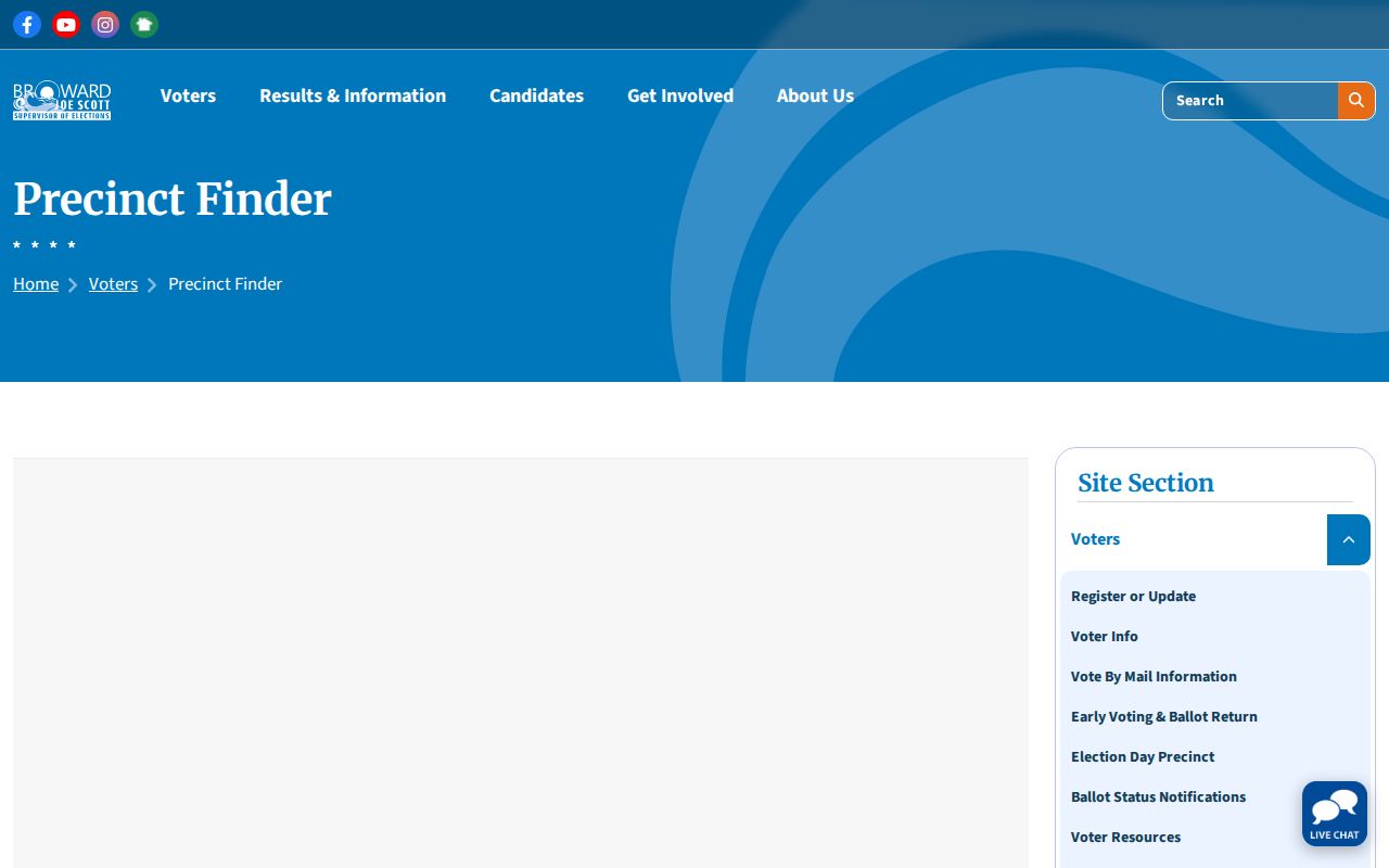
A lawfully requested voter file may include public name, residence, mailing, party, status, registration date, precinct, districts, and participation history. It never reveals ballot choices. The individual registration check is a gated verification tool, not a browse-all directory. Protected addresses and confidential identifiers are removed.
Official Rolls Versus Commercial Neighbor Tools
Official sources define the recorded fact, source agency, and update context. Commercial neighbor tools blend feeds, may attach stale household associations, and do not replace the original record.
Official rolls
Use BCPA for parcel ownership, RTT for recorded instruments, Elections for voter fields, and the Clerk for court files.
Compiled tools
Treat any name or address as an unverified lead. Return to the custodian before drawing a conclusion.
The Broward Clerk gateway leads to court, probate, marriage, and other county records when a lawful block question reaches a named case.
North Lauderdale Neighbor Safety Records
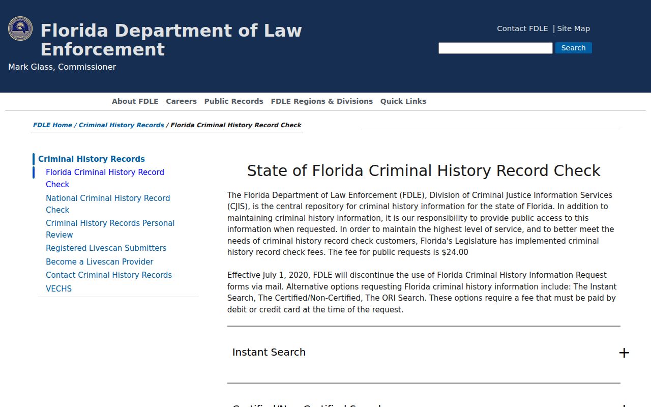
Florida's official criminal-history route serves a limited identity-check purpose and warns users to match records carefully.
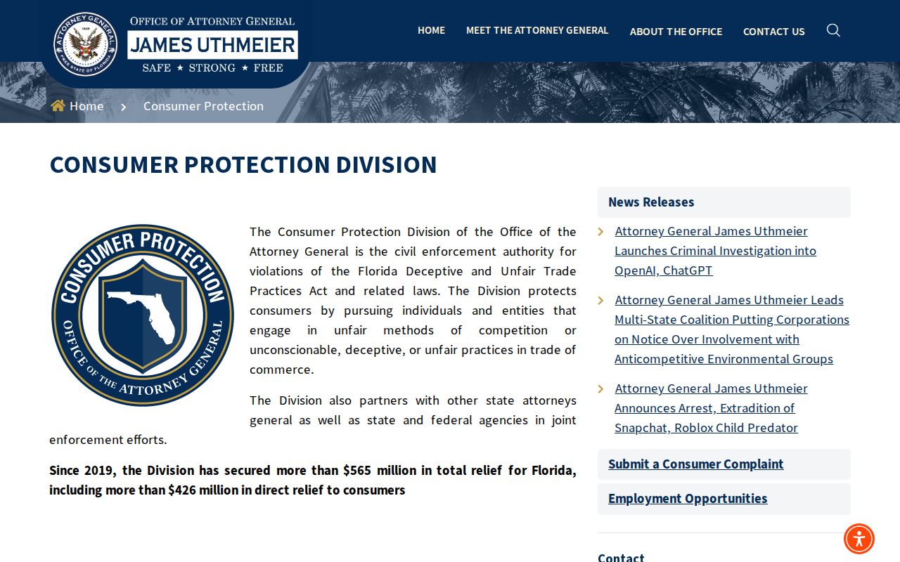
The Florida Attorney General consumer-protection page offers scam and consumer-safety guidance without turning suspicion into a claim about a neighbor.
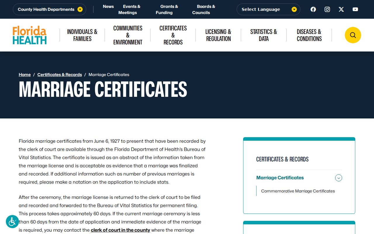
The Florida marriage certificate page describes public certificates from June 6, 1927, while earlier events remain with the county clerk.
Privacy Limits for North Lauderdale Neighbors
Utility, customer, delivery, security, and access data are not general public block records. Florida withholds specified voter identifiers and protected information. The Attorney General Address Confidentiality Program provides substitute addresses for qualifying participants, while section 119.071 creates agency-specific protections.
A blank space is not proof that a person moved or that no one lives at an address. It may reflect a renter, an unlisted household member, protected status, a wrong jurisdiction, a spelling variation, or a source outside its online coverage.
Lawful use. Use public block records for civic curiosity, genealogy, reconnection, or personal safety awareness. Never watch, harass, intimidate, or harm North Lauderdale neighbors.
Build a Careful North Lauderdale Block Log
A block study is easiest to review when every row holds one parcel and one source date. Record folio, situs, assessed owner, mailing-city difference, homestead indicator, and the source link. Add permit, recorded-instrument, or directory facts as separate dated notes. Do not place a renter, relative, permit applicant, or business contact into the owner field.
Corner parcels and sites made of several lots need special care. Save the folio shown by each clicked polygon, then compare the legal description on its card. Map proximity can be misleading at curved roads, canals, common areas, and parcels separated by a right of way. The city viewer can confirm North Lauderdale boundary and zoning context, but it is not a title survey.
If two public sources conflict, use the source that controls the fact. BCPA controls the current tax-roll context, RTT the recorded instrument, Elections the registration field, and the Clerk the case docket. Note the date inspected because each system changes on its own cycle. A commercial compilation should never override the custodian.
When a name search is blank, test initials, compound surnames, punctuation, and diacritics before drawing a conclusion. Then inspect source coverage and protected-record rules. The right final entry may be “not established by this source.” That is more accurate, and more respectful of North Lauderdale neighbors, than filling the blank with a guess.
Historical comparisons need a fixed map frame. A 1975 directory listing, a current parcel card, and a recent permit describe different snapshots. Save cross streets and subdivision with the address, especially near another Broward municipality. If a directory uses Fort Lauderdale Suburban, preserve that printed geography. The label can be right for its edition even when the parcel is now within North Lauderdale.
A voter-file row adds only fields the Supervisor lawfully releases. Registration reflects a claimed voting residence at a point in time. Active or inactive status is a list-maintenance fact, not proof of presence or a move. Full date of birth, license or state ID numbers, Social Security number, registration source, and protected information remain confidential.
City permits and code cases add a dated project or condition to a parcel log. They may name an owner, applicant, contractor, or responsible party. Record the exact role. If the account view is incomplete, a city request should state situs, folio, record type, inclusive dates, electronic format, and attachments. Ask the Clerk to identify the custodian if county approvals are involved.
Community context comes from public maps, notices, meetings, and voluntary archive gifts. Broadview, Cypress Lakes, Hampton Pines, Oakbrook Village, Sabal Palm Village, Pompano Park, and Town Center can orient a search. They do not establish association membership. A Sunbiz filing may name an entity's officer or agent, but its address can be organizational rather than residential.
For each North Lauderdale neighbor record, distinguish owner from occupant and current fact from history. Save the date viewed because portals update on different cycles. If a deed, parcel card, voter record, and directory conflict, keep the conflict visible and let each custodian control its own fact. A commercial compilation remains an unverified lead.
A block log should end where public evidence ends. Do not seek utility accounts, delivery details, private security data, access codes, or unpublished member lists. Do not publish protected addresses or use the map to monitor a person. Parcel research is most useful when it explains land, public events, and community geography while respecting North Lauderdale neighbors.
A public block table should keep one parcel per row. Record the folio, situs, legal description, current assessed owner, and tax-mail destination. Add a homestead indicator only as evidence consistent with owner occupancy. If the mailing address differs, do not assume the owner moved from or never used the parcel. The card shows tax-roll context, not a live presence check.
Recorded instruments add history only after the owner name is searched in Broward Official Records. Match the legal description, document type, parties, and recording reference for each parcel. A deed's recording date may differ from execution, and a mortgage or lien does not identify a household. Repeating this process around a block takes more work than a compiled map, but it leaves each fact tied to its custodian.
The 1975-1986 Fort Lauderdale Suburban directories can add historical listed occupants. Search an address in consecutive years and preserve the printed spelling. Pair it with census schedules when the dates allow, remembering that a directory and census are snapshots from different compilation cycles. This historical layer can explain block change without being mistaken for the people currently nearby.
North Lauderdale's compact size and dense parcel pattern make careful folio capture essential. At a corner, across a canal, or beside common land, a nearby polygon may not be the intended neighbor parcel. Zoom until labels appear, click deliberately, and reopen each property card. If legal adjacency matters, a screen map is not a survey and should not be presented as one.